Gallery

Swiss NFI
Accurate and precises measurements at the inventory plot.
Copyright: B. Basler/WSL

Remote sensing
Application of remote sensing and GIS techniques for the provision of forest maps and other spatial forest information is an integral part of many NFIs.
Copyright: BFW
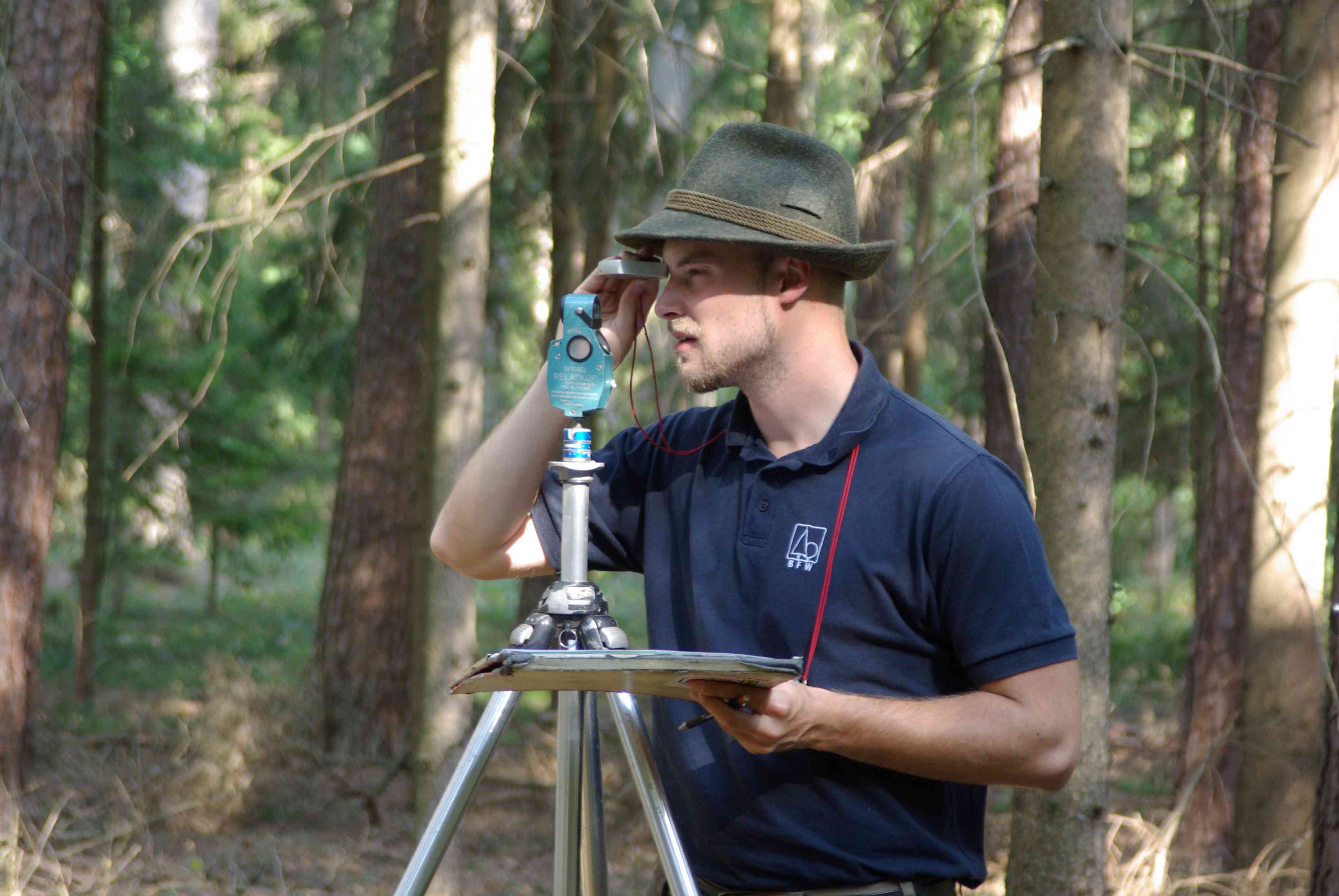
Austrian NFI
Identification and detection of sample trees at the inventory plot with relascope and compass.
Copyright: BFW

Austrian NFI
DBH measurement at the inventory plot with the view towards the center of the sampling plot.
Copyright: BFW
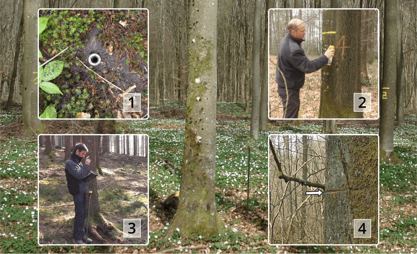
Belgian NFI
Setting up of a permanent sample plot:
1) Metal pipe to locate the center of the plot;
2) Marked tree to locate the plot;
3) Measurements and encoding, and;
4) Point of measurement mark
Copyright: I.P.R.F.W.

Swiss NFI
Switzerland is a mountain country. Nearly half of its forests primarily protect settlements and traffic infrastructure against natural hazards.
Copyright: S. Speich/WSL
Swiss NFI
Data on Swiss forests is not only collected by analyzing aerial photographs and field surveys, but also by interviewing Swiss foresters.
Screenshot from documentary by frame eleven, NFI

Czech NFI
Field measurement during NFI2
Copyright: FMI Brandys nad Labem, 2014
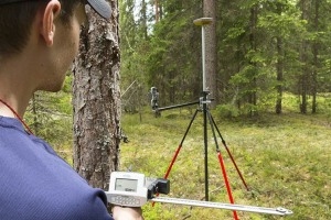
Finnish NFI
Field plot measurement using Sonar electronic calliber for tree mapping and GNSS device for accurate mapping of the plot center.
Copyright: E.Oksanen/Luke
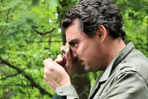
French NFI
Complete inventories of plant species present in plots
Copyright: French NFI

French NFI
Growing stock measured by terrestrial LiDAR
Copyright: French NFI

German NFI
Dbh measurement with diamter measuring tape
Copyright: Thünen Institute

German NFI
Field computer displaying marginal circles of ACS sampling trees
Copyright: Thünen Institute
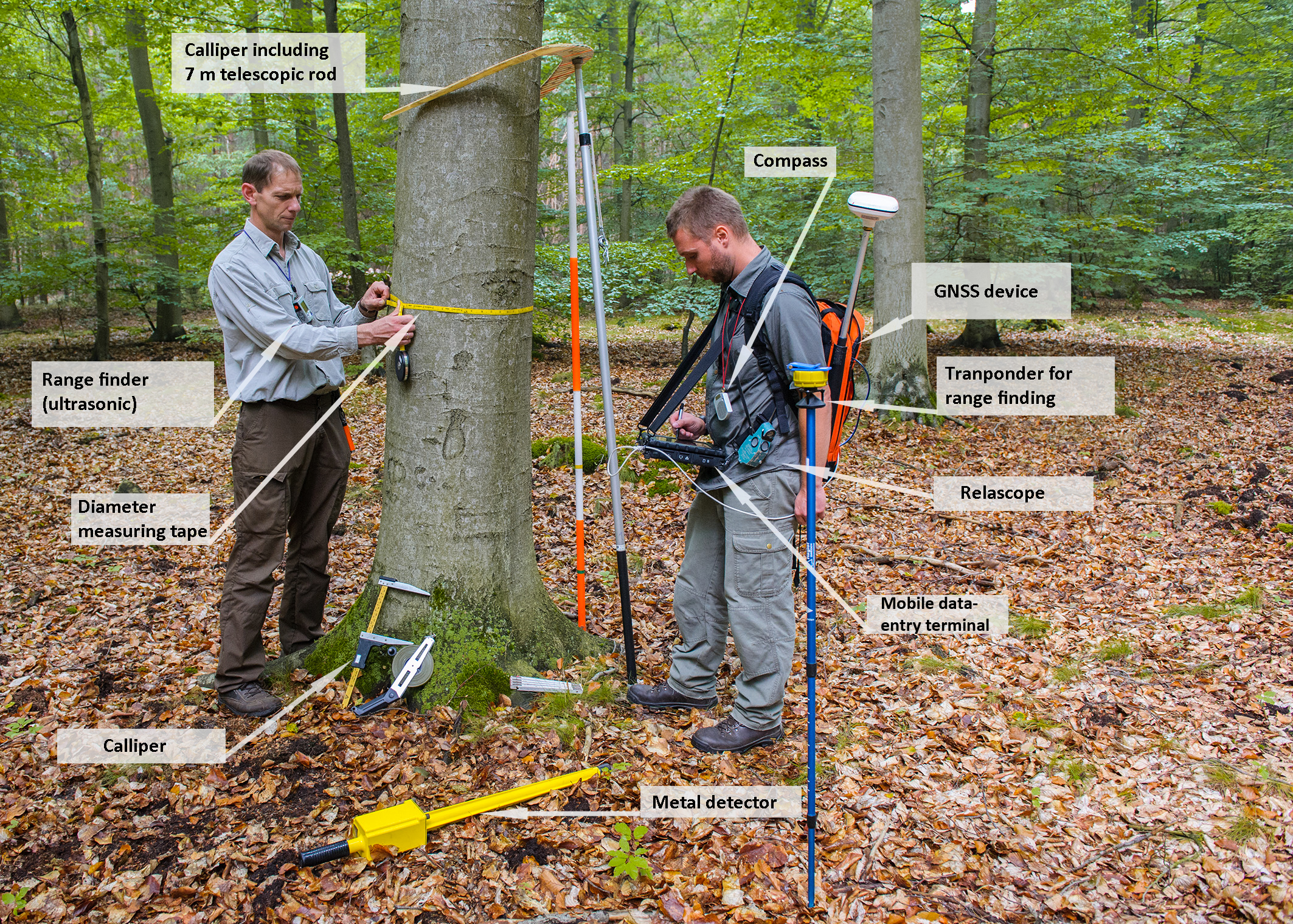
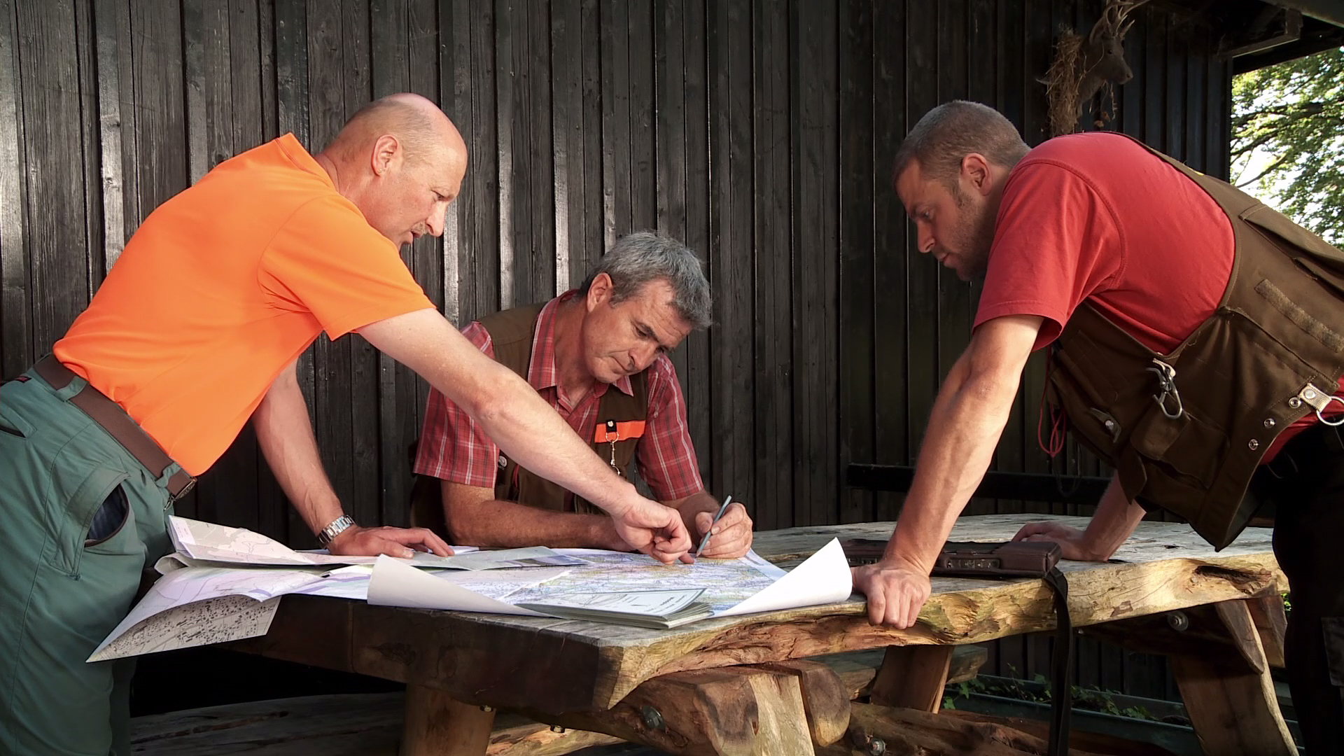
German NFI
Field crew with equipment
Copyright: Thünen Institute
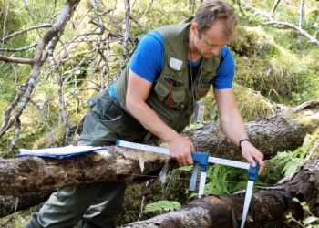
Norwegian NFI
Measurement of lying deadwood in Norway
Copyright: R. Eriksen/NIBIO
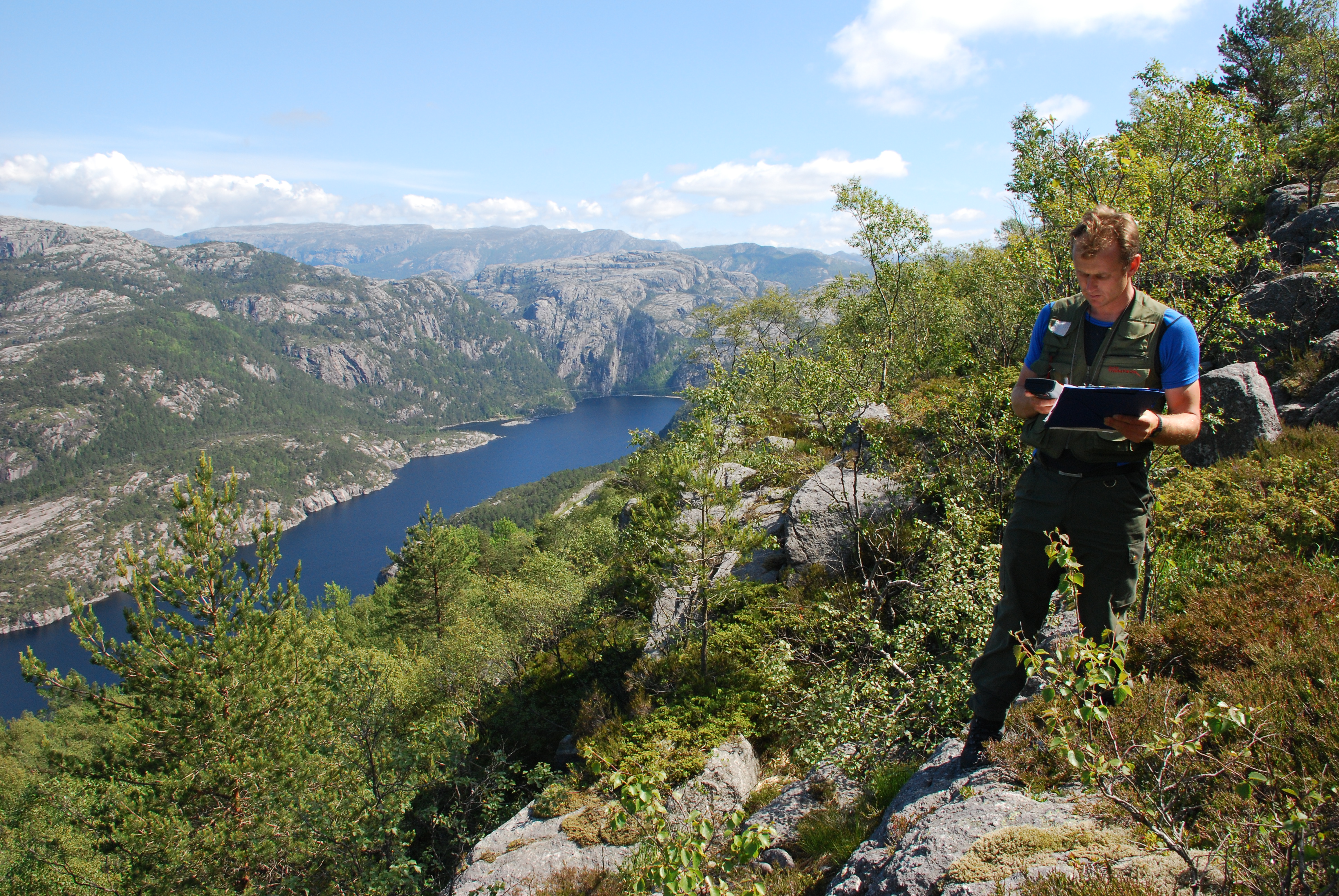
Norwegian NFI
Inventory work near the tree line in western Norway
Copyright: R. Eriksen/NIBIO